- Main Office: Northern California
- Phone: (916) 645-3474
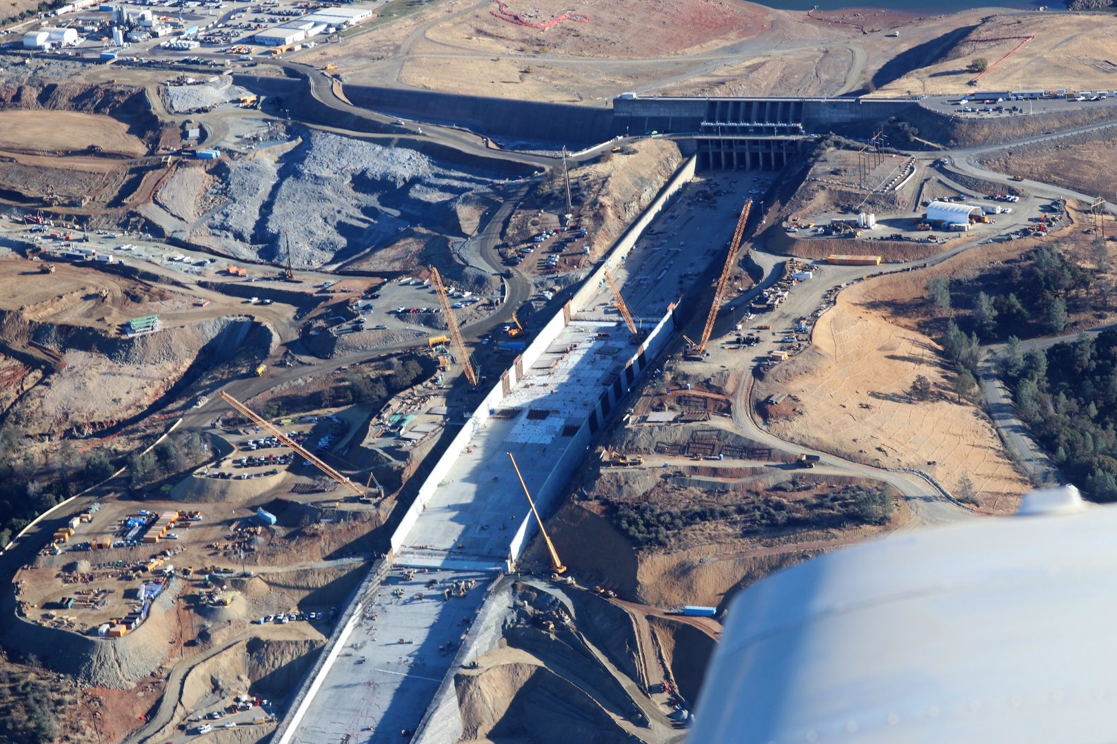
Oroville Dam Update from the Cherokee 6
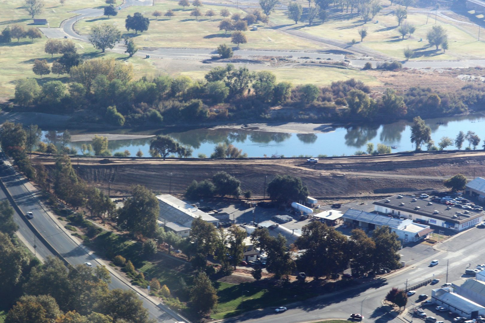
Our flight today took us out of Yuba City, Sutter Co. Airport O52 before 0800 on October 26, 2017. Flying at 1500AGL out of controlled airspace toward the city of Oroville, following the Thermalito forebay we flew four grids of various altitudes and directions shooting with a Canon 80D and various telephoto lenses in RAW 4K. On the return leg we flew downstream back to Marysville and Yuba City taking note of the levees and ongoing upgrades. This is a small sampling of some of the 500+ images shot in an that hour flight.
Morning flight out of Sutter County to document the continuing process of the February 2017 event at the Oroville dam. All images shot from the Piper Cherokee 6 at 2000’AGL and are property of NewAgeAerial.com and not to be used without permission. No UAVs where used in any of these images